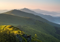
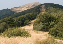
Hasiakowa Rock - Połonina Wetlińska - Bieszczady National Park
No weather data
0.0 /5
Number of ratings: 0
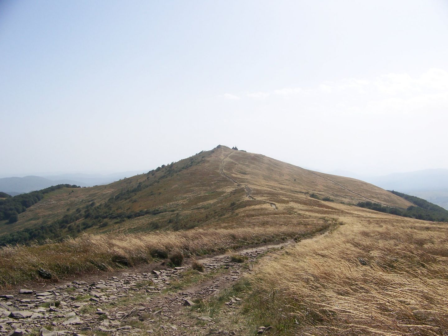
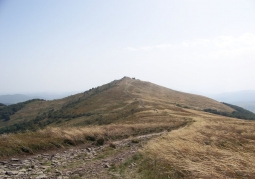
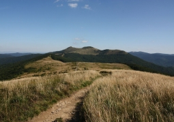
The eastern culmination of Połonina Wetlińska in the Bieszczady Mountains, located north of the Wyżna Pass and west of the valley of the Prowcza stream. To the north of Hasiakowa Skała there is the side ridge of Jawornik and Dwernik Kamien, stretching to the San Valley. Slopes of the hill are covered with membranes. A few meters south of the highest point is the "Chatka Puchatka" hut, the highest located in the Bieszczady Mountains. The following hiking trails lead through Hasiakowa Skała: - red: from Berehów Górne 1.40 h (↓ 1.10 h) from the village of Smerek 4.50 h (back 4.05 h), from the Orłowicz Pass 1.50 h (from 1.35 h back), from Osadzki Wierch 0.50 h (from 0.50 h above) - yellow: from the Wyżna Pass 1 h (↓ 0.35 h) - black and yellow: from the camping "Górna Wetlinka" 1.45 h (↓ 1 h)
Komentarze
No results
Nearby places
Połonina Wetlińska - Bieszczady National Park
Category: Peaks and valleysA massif in the Western Bieszczady with several vertices, which is continued by the Smerek Mountain separated by the M. Orłowicz Pass. The southwestern slopes of the massif are short, steeply falling into the Wetlinka...
2 km
Roh - Połonina Wetlińska - Bieszczady National Park
Category: Peaks and valleysThe highest of the peaks of Połonina Wetlińska in the band of Western Bieszczady. It is the culmination of a ridge located between the Silvery Pass separating it from Osadzki Wierch and Hasiakowa Skała, it lies at...
3 km
Osadzki Wierch - Bieszczady National Park
Category: Peaks and valleysOsadzki Wierch is the second highest tourist trail available in the highest peak in the band of Połonina Wetlińska in the Western Bieszczady Mountains. Due to the occurrence of poloniny, it is an ideal viewpoint for...
3 km
Szare Berdo - Połonina Wetlińska - Bieszczady National Park
Category: Peaks and valleysThe peak in the Western Bieszczady, through which the Main Beskids Trail runs on the section Smerek - Orłowicz Pass - Szare Berdo - Osadzki Wierch - "Chatka Puchatka". The culmination is 1108 m above sea level. It is...
5 km